Loading page…
CAD Drawing
Egypt Geographic Map Vector
by Ehsan Jelveh Moghaddam
About this asset
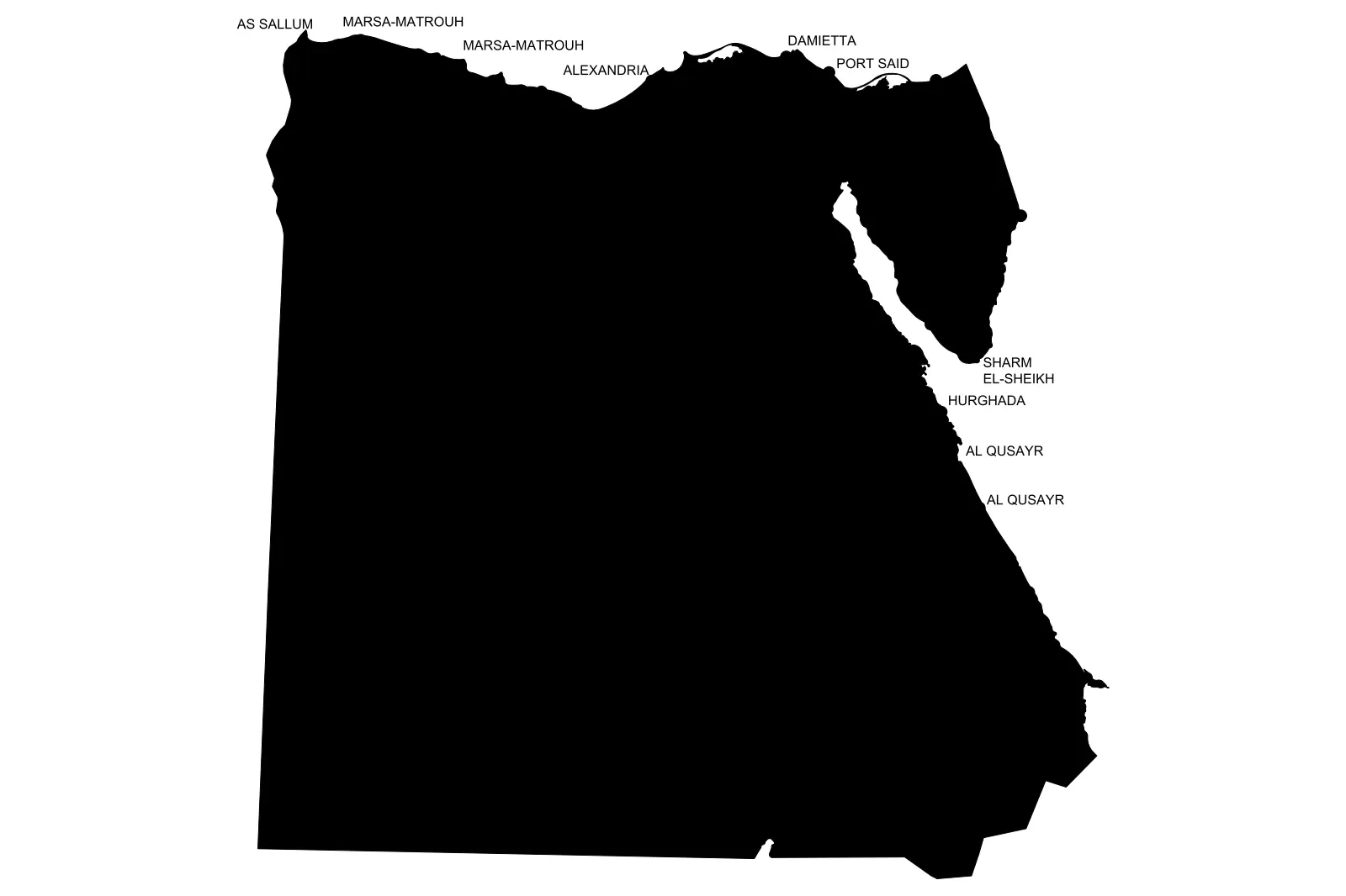
This Egypt geographic map vector is an AutoCAD DWG drawing featuring a clean silhouette outline with major coastal city labels. Representing the national borders of Egypt, this vector drawing provides a simplified, high-contrast silhouette suitable for site context planning. The geometry captures the coastline, the Nile Delta region, and the Sinai Peninsula with professional clarity. Major coastal settlements including Alexandria, Port Said, and Sharm El-Sheikh are annotated as text elements. The linework is clean and closed, allowing for easy hatching or boundary manipulation within CAD environments. As a purely two-dimensional graphic, it maintains lightweight file performance while providing essential regional context for master planning or large-scale site development projects.
The download is a 123 KB file containing an AutoCAD drawing (.dwg) drawn in plan. It opens in AutoCAD, BricsCAD, DraftSight and other DWG-compatible CAD programs, ready to insert as blocks into plans and elevations.
Insert this file directly into your CAD workspace as a block or Xref to establish regional context. Because the data consists of standard vector entities, you can easily scale the map to match your project coordinate system or project north. The text labels and borders reside on separate layers, allowing you to toggle annotations off or adjust line weights to suit your presentation standards. Use the closed polylines to apply solid fills or custom hatches for thematic mapping.
This map is essential for architects and urban planners working on site analysis, master planning, or regional infrastructure projects in Northern Africa. It provides an immediate visual reference for project location in presentation drawings or planning reports. Professionals typically search for this asset when creating site context diagrams, regional connectivity maps, or project location markers for tender packages. It pairs effectively with broader regional site studies and urban design proposals, ensuring accurate geographic representation without the need for manual tracing from raster images.