Loading page…
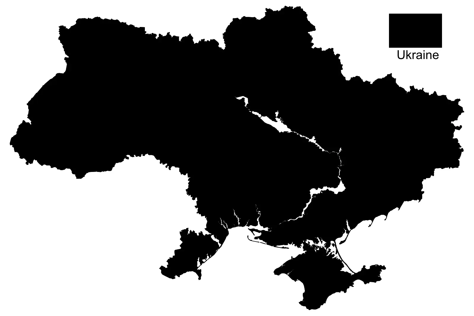
CAD Drawing
Ukraine Vector Map Outline Drawing
by Javier Cardiel
About this asset
Ukraine vector map outline in AutoCAD DWG format, providing a clean, scalable geographical boundary for site analysis and diagrams. This CAD file provides a clean, closed-path vector outline of the Ukrainian national territory. The geometry is presented as a solid silhouette, capturing the primary national borders and major internal river systems in a simplified, high-contrast format. It is designed for clear legibility at various scales, making it suitable for overlaying onto site plans, master planning documentation, or analytical diagrams.
The download is a 543 KB file containing an AutoCAD drawing (.dwg) drawn in plan. It opens in AutoCAD, BricsCAD, DraftSight and other DWG-compatible CAD programs, ready to insert as blocks into plans and elevations.
Professionals can import this DWG directly into AutoCAD or other CAD-compatible software as a block or external reference. Once placed, the geometry can be scaled to match project units or used as a clipping boundary for site-specific data. Because it consists of standard vector entities, users can easily modify the line weight, toggle fill properties, or explode the geometry to manipulate individual segments of the border for custom graphic representations or detailed site mapping tasks.
This map is intended for use in urban planning, landscape architecture, and regional development projects where national context is required. It is ideal for site analysis boards, architectural presentation documents, or as a base layer for thematic mapping. Architects and urban designers often use such outlines to establish the geographic context of a site within large-scale masterplans. It pairs well with standard site plan annotations and can be used to quickly generate diagrammatic representations of project locations within the broader national territory.