Loading page…
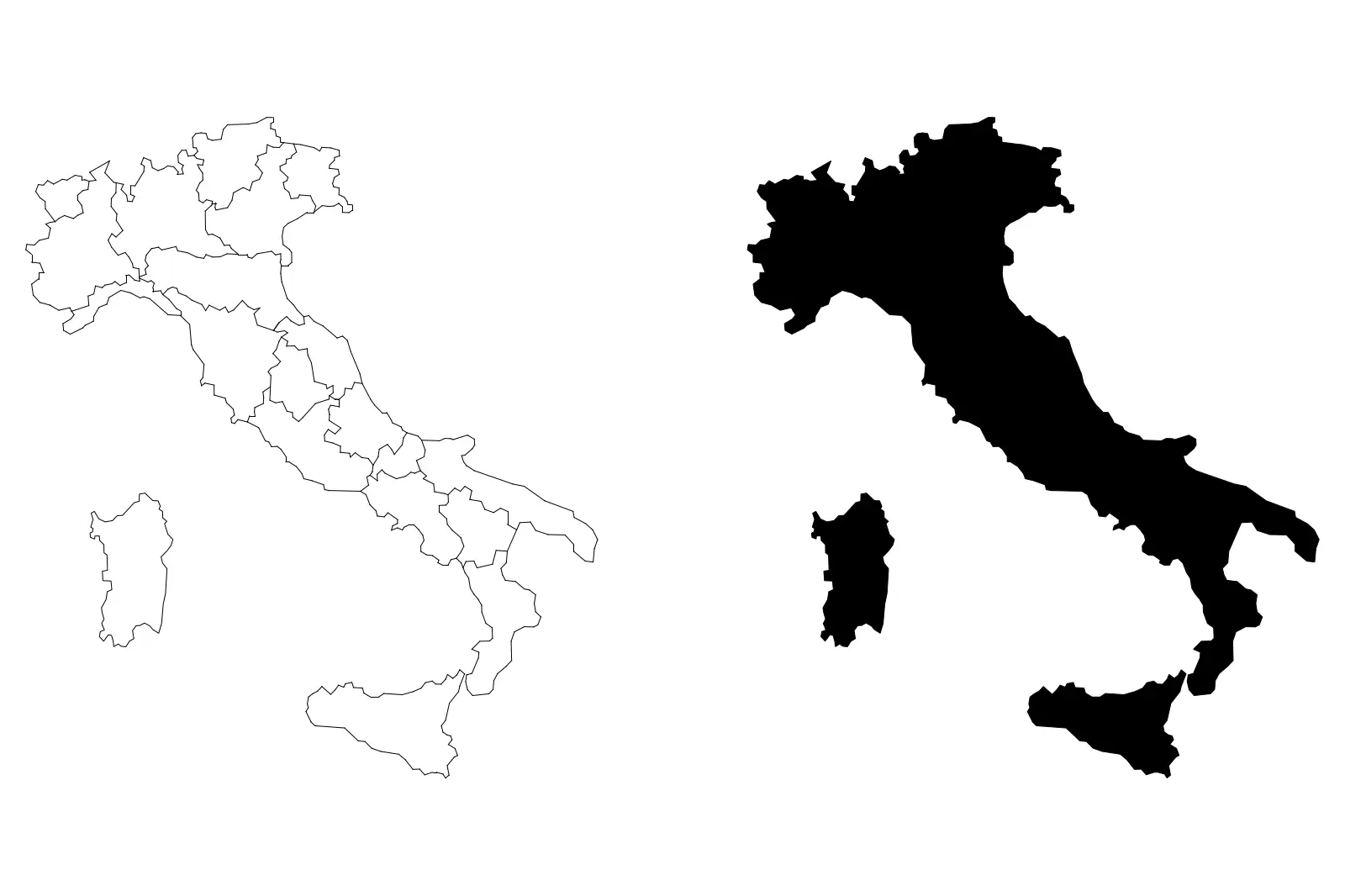
CAD Drawing
Italy Regional Map Vector Drawing
by Tong Guan
About this asset
This clean vector map of Italy includes regional boundaries and is provided as an AutoCAD DWG drawing for site planning. The file contains a precise 2D vector outline of the Italian peninsula, including Sicily and Sardinia. It is presented in two distinct formats within the same file: an open-path version displaying internal regional boundaries and a solid filled-path version for silhouette applications. The linework is clean, closed, and topologically accurate, suitable for scaling to any project requirement without loss of fidelity. It provides a foundational geometry for architectural site analysis, urban masterplanning, or thematic mapping where territorial context is required. The geometry is straightforward, lightweight, and ready for immediate inclusion into larger masterplan layouts.
The download is a 72 KB file containing an AutoCAD drawing (.dwg) drawn in plan. It opens in AutoCAD, BricsCAD, DraftSight and other DWG-compatible CAD programs, ready to insert as blocks into plans and elevations.
Import this DWG file directly into your CAD environment as a block or external reference. The geometry consists of standard polylines that can be easily manipulated, hatched, or offset to suit specific project boundaries. Users can assign custom line weights or fill patterns to the regional segments for presentation-ready diagrams. Since the data is vector-based, it scales infinitely, allowing for integration into both large-scale urban planning documents and smaller, detailed site analysis sheets without pixelation or loss of clarity.