Loading page…
CAD Drawing
School Campus Landscape Masterplan Drawing
by William Block
About this asset
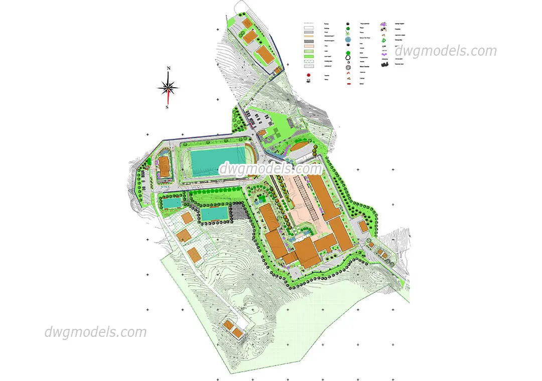
Comprehensive school campus landscape masterplan in AutoCAD DWG format, featuring site layout, circulation, and green zones. This professional landscape masterplan provides a detailed 2D site layout for an educational campus. The drawing encompasses building footprints, paved circulation paths, sports facilities, and designated green space allocations. It includes a comprehensive legend for vegetation types and site elements, allowing for clear identification of proposed landscaping strategies. The plan is structured with clear topographical contours, indicating the site's slope and natural features. Proportions are designed to accommodate large-scale institutional requirements, balancing functional hardscape areas with recreational zones and structured planting beds throughout the campus grounds.
The download is a 1.8 MB file containing an AutoCAD drawing (.dwg) drawn in plan. It opens in AutoCAD, BricsCAD, DraftSight and other DWG-compatible CAD programs, ready to insert as blocks into plans and elevations.
Utilise this DWG file as a foundational base layer for site planning and landscape development projects. The geometry is organised into logical layers, enabling architects to toggle between building footprints, planting zones, and site infrastructure. Designers can scale the drawing to match existing site surveys or reference it directly into larger masterplanning files. It serves as a starting point for developing detailed planting schedules and material specifications by leveraging the provided legend and site distribution data.