Loading page…
CAD Drawing
Residential Landscape Design Plan with Topography
by Brandon Eck
About this asset
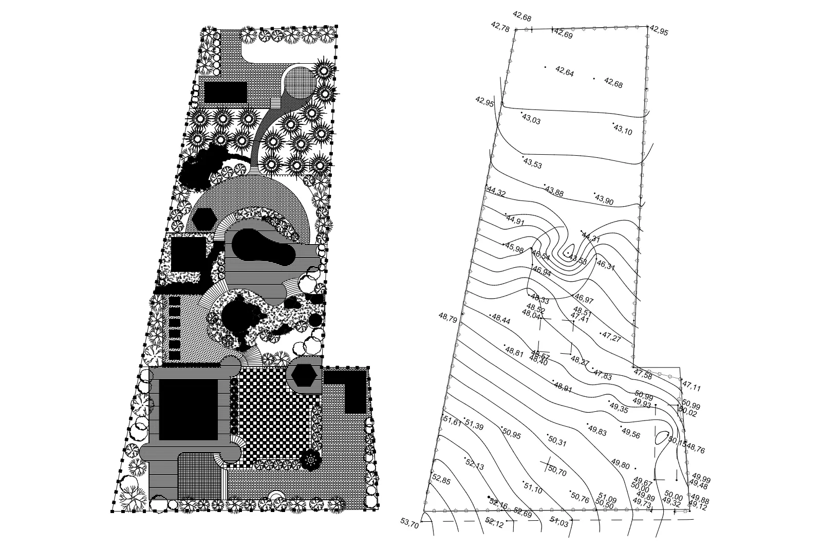
This professional landscape design plan in AutoCAD format features a detailed site layout and corresponding topographic survey data. The drawing provides a comprehensive 2D site plan for a residential garden, presented alongside a detailed topographic survey. The layout includes structured vegetation patterns, paved walkways, and distinct functional zones, likely representing a patio or terrace area. The accompanying topography sheet displays contour lines and spot elevations, essential for understanding site grading and drainage. The geometry is clean, using standard CAD line weights to differentiate between planting beds, hardscape elements, and boundary markers. This technical documentation serves as a foundational reference for site development, offering precise spatial data for further design refinement and construction planning.
The download is a 768 KB file containing an AutoCAD drawing (.dwg) drawn in plan. It opens in AutoCAD, BricsCAD, DraftSight and other DWG-compatible CAD programs, ready to insert as blocks into plans and elevations.
Users can insert this DWG file directly into an existing AutoCAD project as a reference or block. The layers are organised to allow for easy toggling of planting, hardscape, and survey information. Architects and landscape designers can use the survey data to establish base elevations, while the plan view provides a template for developing detailed planting schedules or paving patterns. Ensure the drawing units are verified upon insertion to maintain accurate scale for site calculations and material take-offs.