Loading page…
CAD Drawing
Deciduous and Coniferous Tree Elevation Set
by Yonathan Persovski
About this asset
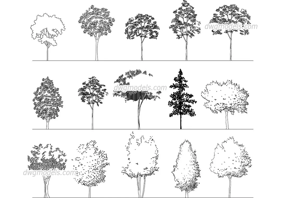
This set of 15 deciduous and coniferous tree elevations in AutoCAD DWG format provides essential 2D botanical staffage for drawings. This collection features fifteen distinct tree species rendered in a clean, professional 2D elevation style. The set includes a diverse range of canopy shapes, from broad, rounded deciduous forms to narrow, upright coniferous profiles. Each tree is depicted with varying levels of detail, utilizing line-weight variations and stippling to suggest foliage density and branch structure. The silhouettes are presented against a consistent baseline, facilitating easy alignment within section drawings or site plans. These graphic representations serve as standard symbols for architectural landscaping, providing clear, readable visual information without unnecessary complexity.
The download is a 1.6 MB file containing an AutoCAD drawing (.dwg) drawn in elevation holding 15 separate objects. It opens in AutoCAD, BricsCAD, DraftSight and other DWG-compatible CAD programs, ready to insert as blocks into plans and elevations.
Professionals can integrate these CAD blocks directly into site plans or section elevations by inserting the DWG file into their active project. Each tree is typically organised on a dedicated layer, allowing for easy selection, scaling, or adjustment of line weights to match specific drawing standards. Users can copy and paste individual symbols across multiple drawing sheets to maintain graphic consistency throughout the landscape documentation process, ensuring clean, efficient output for planning submissions and construction sets.