Loading page…
CAD Drawing
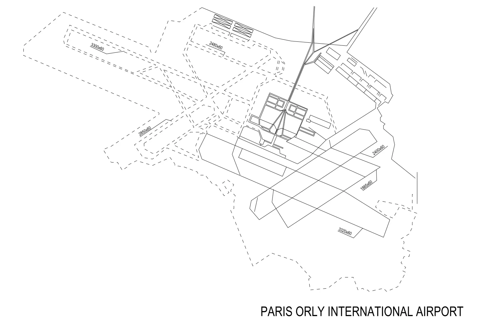
Paris Orly International Airport Site Plan
by Sargam Tandon
About this asset
This CAD site plan of Paris Orly International Airport provides a detailed, top-down view of runways and taxiways in AutoCAD. This technical CAD drawing illustrates the layout of the Paris Orly International Airport, focusing primarily on the geometric configuration of its runways and taxiway network. The file uses clean, vector-based line work to delineate the primary landing strips, including specific dimension labels for the length and width of several runways. The central terminal area is represented by simplified block forms, showing the main building footprints and circulation axes. The line types differentiate between active paved surfaces and secondary site boundaries, providing a clear, readable schematic for urban planning or site analysis.
The download is a 61 KB file containing an AutoCAD drawing (.dwg) drawn in plan. It opens in AutoCAD, BricsCAD, DraftSight and other DWG-compatible CAD programs, ready to insert as blocks into plans and elevations.
Users can insert this DWG file directly into an AutoCAD project as an XREF or block to serve as a base for large-scale site mapping. The geometry is fully editable, allowing designers to adjust layers, modify line weights, or snap new infrastructure elements to the existing runway coordinates. Because the drawing is vector-based, it scales easily for different plot sizes and can be integrated into larger master-planning documents or site-context studies with minimal overhead for the host file.
This asset is intended for professionals working on large-scale urban infrastructure projects, master planning, or aviation-related site analysis. It is useful during the early research and feasibility stages of development, providing a reliable reference for existing airport layouts. Architects and civil engineers can use this data to understand site circulation, runway orientation, and spatial relationships within the airport precinct. Search for this drawing when preparing site context studies, accessibility reports, or when drafting preliminary master plans for international transport hubs.