Loading page…
CAD Drawing
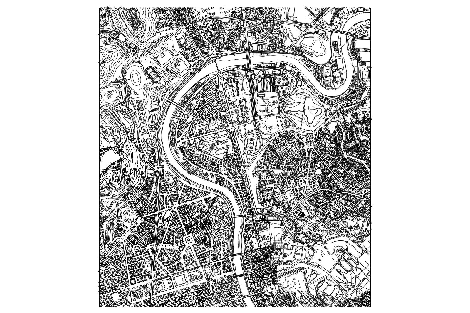
Rome City Centre Urban CAD Map
by Erik Schonsett
About this asset
Detailed Rome urban CAD map in AutoCAD DWG format, providing comprehensive vector linework for city centre site analysis. This professional-grade CAD file captures the dense urban fabric of central Rome, featuring precise vector linework for street networks, building footprints, and river topography. The drawing provides a clear, black-and-white representation of the historic city layout, including public squares, major arterial roads, and local infrastructure. All elements are presented in a clean, top-down plan view, suitable for large-scale site masterplanning or contextual study. The geometry is structured for readability, allowing designers to easily isolate specific zones, measure distances between city blocks, or establish context for architectural project submissions within the Italian capital.
The download is a 3.1 MB file containing an AutoCAD drawing (.dwg) drawn in plan. It opens in AutoCAD, BricsCAD, DraftSight and other DWG-compatible CAD programs, ready to insert as blocks into plans and elevations.
Architects and urban planners can integrate this DWG file directly into AutoCAD or other CAD-compatible software as a base layer for site masterplanning. The vector data allows for easy scaling, trimming, or clipping to isolate specific project sites. Users should verify the coordinate system and units upon insertion to ensure alignment with existing project files. It is recommended to manage the drawing on dedicated layers to maintain performance when overlaying new design proposals or landscape interventions.