Loading page…
CAD Drawing
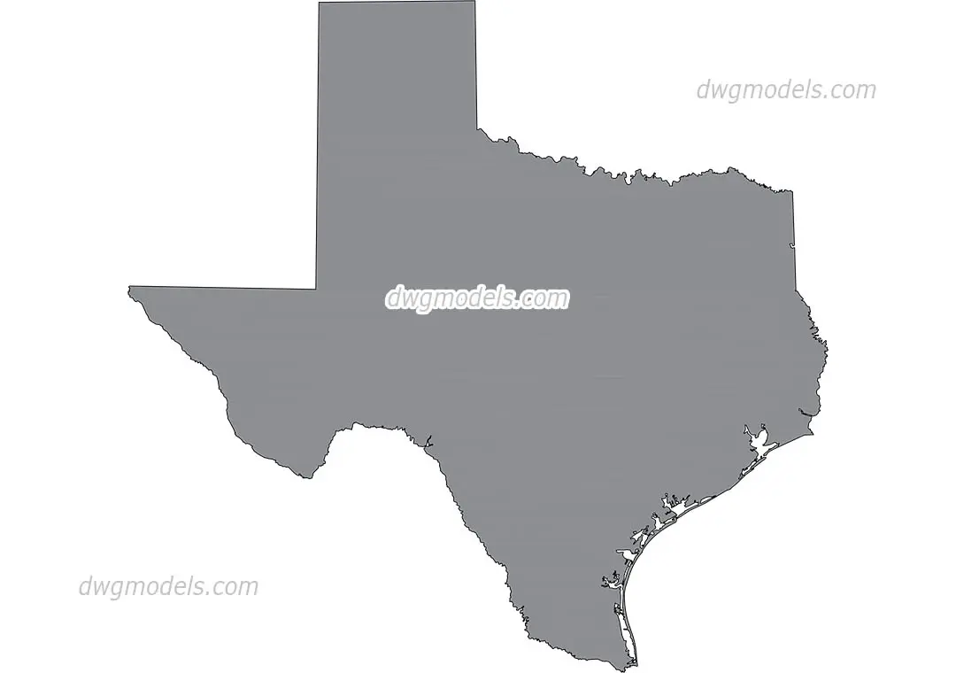
Map of Texas Vector Outline
by Timothy Cheng
About this asset
This vector map of Texas provides a clean, editable state boundary outline in DWG format for site analysis and urban planning projects. The file contains a precise, two-dimensional vector representation of the Texas state boundary, including the coastline and major coastal features. The geometry is presented as a closed polyline, allowing for easy manipulation, scaling, or hatching within CAD software. The outline captures the state's characteristic shape, from the panhandle in the north to the southern tip along the Gulf of Mexico. It is designed for maximum clarity, serving as a foundational layer for thematic mapping, site context diagrams, or regional planning presentations where a simplified state silhouette is required.
The download is a 819 KB compressed archive.
Users can import this drawing directly into any CAD environment, where it functions as a standard block or set of lines. Because the geometry is vector-based, it can be scaled to fit any sheet size without loss of resolution. Professionals typically use this as an underlay for site-specific data or as a base for regional mapping, often adjusting line weights or applying fills to differentiate specific study areas within the larger state context.
This map is ideal for regional planning reports, urban design proposals, and site analysis documents where context is essential. It serves as a reliable base for mapping project locations, infrastructure networks, or environmental zones across the state. Architects and planners use this for high-level site context in early-stage feasibility studies or master planning presentations, pairing it with local site plans to establish geographic relevance. It is a fundamental asset for any project requiring clear, professional-grade state boundary documentation in a CAD-compatible format.