Loading page…
CAD Drawing
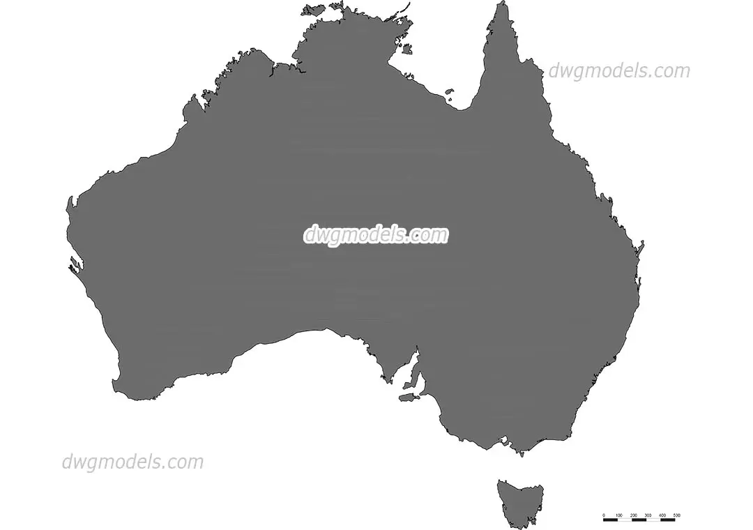
Map of Australia CAD Drawing
by Rowan Price
About this asset
This 2D vector Map of Australia drawing is a clean CAD outline designed for site planning, masterplan diagrams, and regional analysis. Presented as a high-fidelity 2D vector outline, this map accurately depicts the Australian coastline and the island of Tasmania. The geometry is clean, closed, and formatted for immediate use in professional CAD software. It includes a graphical scale bar, allowing for quick reference and scaling within technical drawings. The fill is a solid neutral grey, providing a clear visual contrast against standard white or black backgrounds in a project file. The lines are continuous and simplified, ensuring the file remains lightweight and easy to manipulate for various design applications.
The download is a 1.8 MB compressed archive.
To use this asset, insert the file as a block or Xref into your primary CAD project environment. Because the map consists of standard CAD lines and polylines, you can easily apply custom hatches, linetypes, or colours to differentiate land masses or highlight specific regions relevant to your site analysis or planning documentation.
This map is essential for architects and urban planners working on projects that require regional context, such as masterplanning, site feasibility studies, or large-scale infrastructure proposals. It serves as an excellent base for creating location diagrams for hospitality, residential, or commercial developments. Professionals often use this file to quickly establish the geographic scope of a project or to add informative background detail to presentation site plans, ensuring that the spatial orientation of a development is clearly communicated to stakeholders.