Loading page…
CAD Drawing
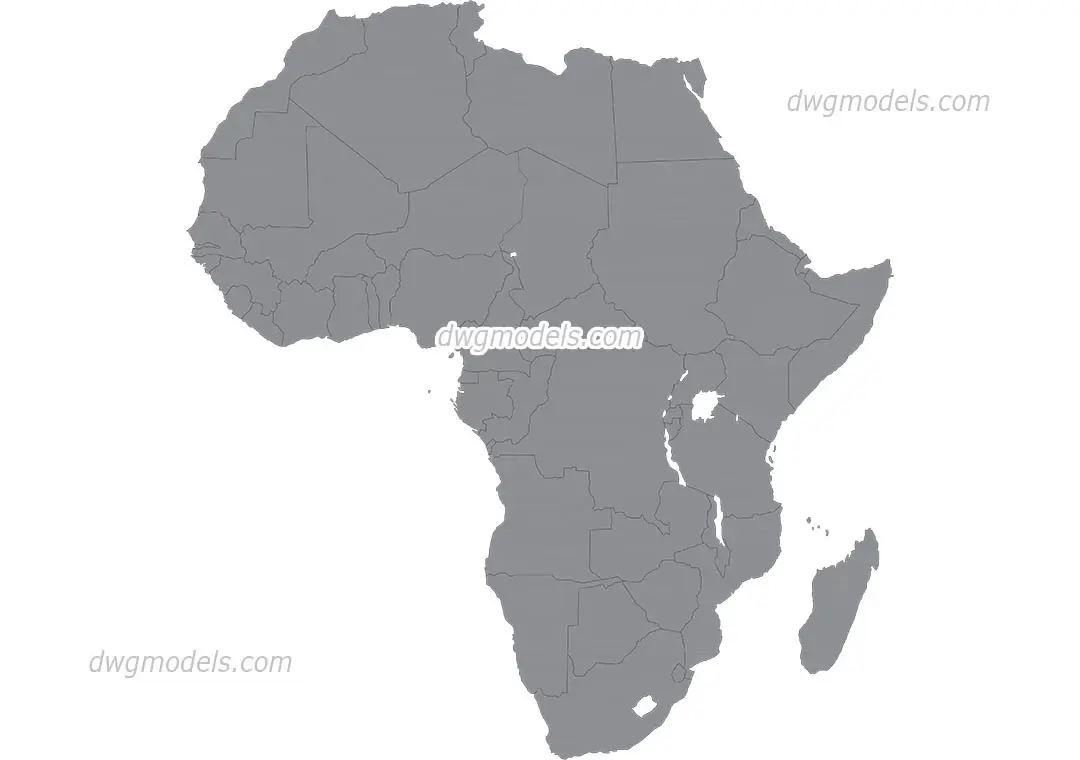
Map of Africa 2D Vector Outline
by Seu Davis
About this asset
This 2D vector map of Africa provides clean, scalable linework for site context, architectural presentation, and urban planning layouts. This asset consists of a high-fidelity 2D vector drawing of the African continent, featuring clearly defined national borders. The geometry is clean and closed, allowing for easy selection, hatching, or colour-filling of individual countries or the landmass as a whole. It is rendered in a neutral grey tone, providing a professional, unobtrusive base for master planning diagrams or regional development studies. The linework is precise, accurately reflecting the continental shape and internal political boundaries, making it a reliable reference for large-scale site analyses or global project context maps.
The download is a 4.3 MB compressed archive.
Users can import this drawing directly into any CAD or vector-based software as a reference layer. Because the file is composed of vector linework, it can be scaled to any size without loss of quality. Designers typically place this on a dedicated layer to maintain control over line weights and object properties, allowing them to isolate specific countries or regions for thematic mapping, site orientation, or graphical illustrations within a larger master plan.
This map is essential for architects and urban planners working on projects that require continental or regional context. It is ideal for inclusion in site analysis reports, feasibility studies, or international development proposals where the location of a site needs to be communicated clearly. The file serves as a versatile background for presentation boards, project brochures, or architectural site plans, helping to anchor a design within its broader geographic setting while maintaining a clean, professional aesthetic for client-facing documentation.