Loading page…
CAD Drawing
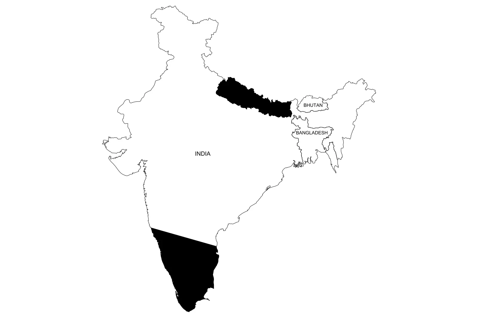
Geographic Map of India Nepal Bangladesh Bhutan
by Milagros Oviedo
About this asset
Geographic map of India, Nepal, Bangladesh, and Bhutan in AutoCAD DWG format, featuring clean vector outlines for site analysis. This 2D vector drawing provides accurate boundary outlines for India, Nepal, Bangladesh, and Bhutan. The geometry is presented as a clean, high-contrast plan view, suitable for various scales of site planning and regional analysis. The file contains closed polylines representing national borders, which allows for easy hatching, area calculation, or modification within CAD environments. Regional labels are included as text entities, and specific zones are highlighted with solid fills, offering a clear visual hierarchy for presentations or technical documentation. The layout is stripped of unnecessary detail to ensure lightweight performance and seamless integration into larger masterplan drawings.
The download is a 328 KB file containing an AutoCAD drawing (.dwg) drawn in plan. It opens in AutoCAD, BricsCAD, DraftSight and other DWG-compatible CAD programs, ready to insert as blocks into plans and elevations.
Professionals can insert this file as a block or reference it directly into existing masterplan layouts. Because the geometry consists of standard CAD entities, users can easily modify line weights, apply custom hatch patterns to specific regions, or scale the map to fit project-specific coordinates. Layer management is straightforward, allowing for the isolation of border lines from descriptive text labels, which helps in maintaining a clean drawing environment during complex urban design or regional planning tasks.