Loading page…
Point Cloud
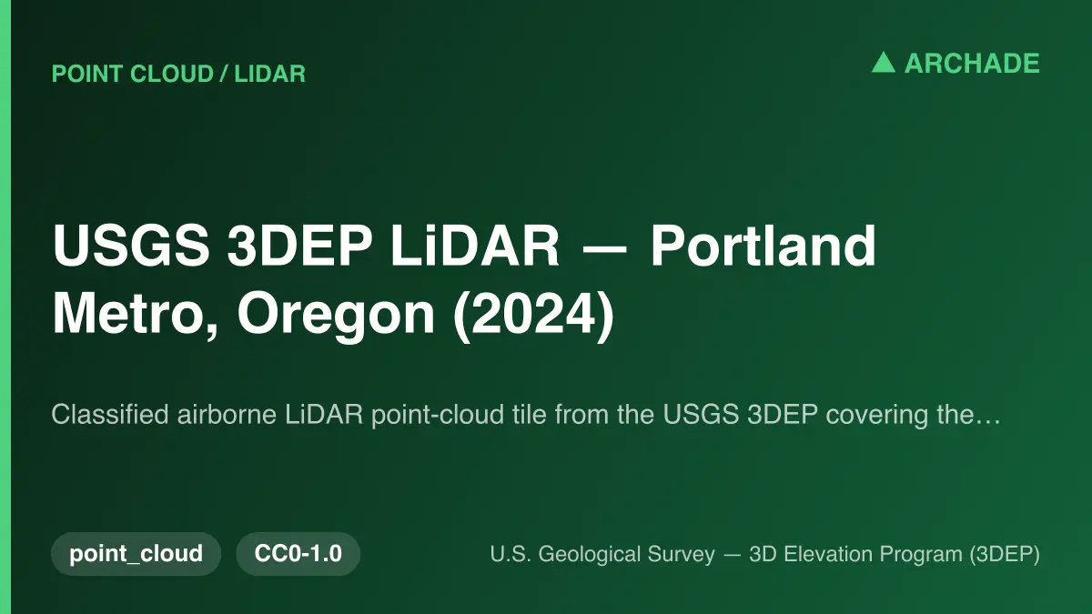
USGS 3DEP LiDAR Portland Metro Oregon Point Cloud
by raika Mirzaie
About this asset
This classified airborne LiDAR point-cloud tile from the USGS 3DEP provides high-resolution elevation data for the Portland Metro area. This dataset consists of a classified airborne LiDAR point-cloud tile sourced from the United States Geological Survey 3D Elevation Program. It provides precise spatial information, capturing ground-level topography, vegetation, and built environment structures within the specified Portland Metro region. The data is structured in the LAZ format, ensuring efficient storage and accessibility for large-scale geospatial analysis. By offering classified points, the file allows professionals to distinguish between ground, vegetation, and man-made structures, facilitating accurate site modelling and terrain analysis for architectural or civil engineering projects requiring real-world geographic accuracy.
The download is a 52.1 MB file containing .LAZ files.
To integrate this LiDAR data, import the LAZ file into GIS software or point-cloud processing tools such as CloudCompare, ArcGIS, or AutoCAD Civil 3D. Users should define the coordinate reference system to match local project requirements before clipping or filtering the dataset. Once loaded, the point cloud can be used to generate digital terrain models, contour lines, or as a reference for context modelling in BIM environments, ensuring site-specific accuracy during the early design and feasibility stages.
This dataset is essential for urban planners, landscape architects, and civil engineers working on projects within the Portland Metro area. It serves as a foundational asset for site analysis, flood mapping, and large-scale infrastructure development. By accurately representing existing topography and urban density, it informs early-stage design decisions and environmental impact assessments. Professionals typically search for this data when conducting feasibility studies, site context modelling, or when requiring precise geospatial inputs for high-fidelity architectural visualisations and complex masterplanning proposals.