Loading page…
Point Cloud
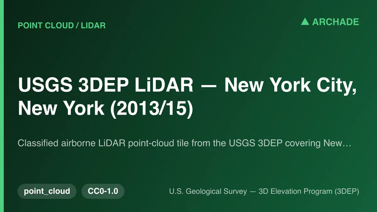
USGS 3DEP LiDAR New York City Point Cloud
by Yiyang Sang
About this asset
This classified airborne LiDAR point cloud tile from the USGS 3DEP provides high-resolution elevation data for New York City. The dataset consists of a classified airborne LiDAR point cloud, captured as part of the U.S. Geological Survey 3D Elevation Program. It provides accurate, ground-truth elevation measurements across the urban landscape of New York City. The data is structured as a point cloud, which allows for the precise extraction of topographical features, building heights, and vegetation canopy information. As a raw geospatial asset, it serves as a foundational layer for site analysis, terrain modelling, and large-scale urban planning projects, offering a comprehensive digital representation of the city's physical form based on post-Sandy aerial acquisition.
The download is a 10 KB file containing .LAZ files.
To utilize this dataset, professionals should import the LAZ file into GIS software or point-cloud processing applications such as CloudCompare, ArcGIS, or AutoCAD Civil 3D. Users can then filter the points by classification to isolate ground terrain from structures or vegetation. Once processed, the data can be used to generate digital elevation models, contour lines, or 3D meshes for site context integration, ensuring accurate topographical alignment within larger BIM or CAD project environments.
This asset is essential for urban planners, civil engineers, and landscape architects working on large-scale developments within the New York City area. It is primarily used during the early site analysis and feasibility stages to understand existing terrain conditions, drainage patterns, and urban density. Professionals often pair this data with satellite imagery or architectural massing models to create accurate site context for master planning, infrastructure projects, or environmental impact assessments, facilitating precise spatial decision-making in complex metropolitan environments.