Dataset / Training Data
Terrain 001
by Constanza Godoy
Terrain 001
Free
Terrain 001
Free
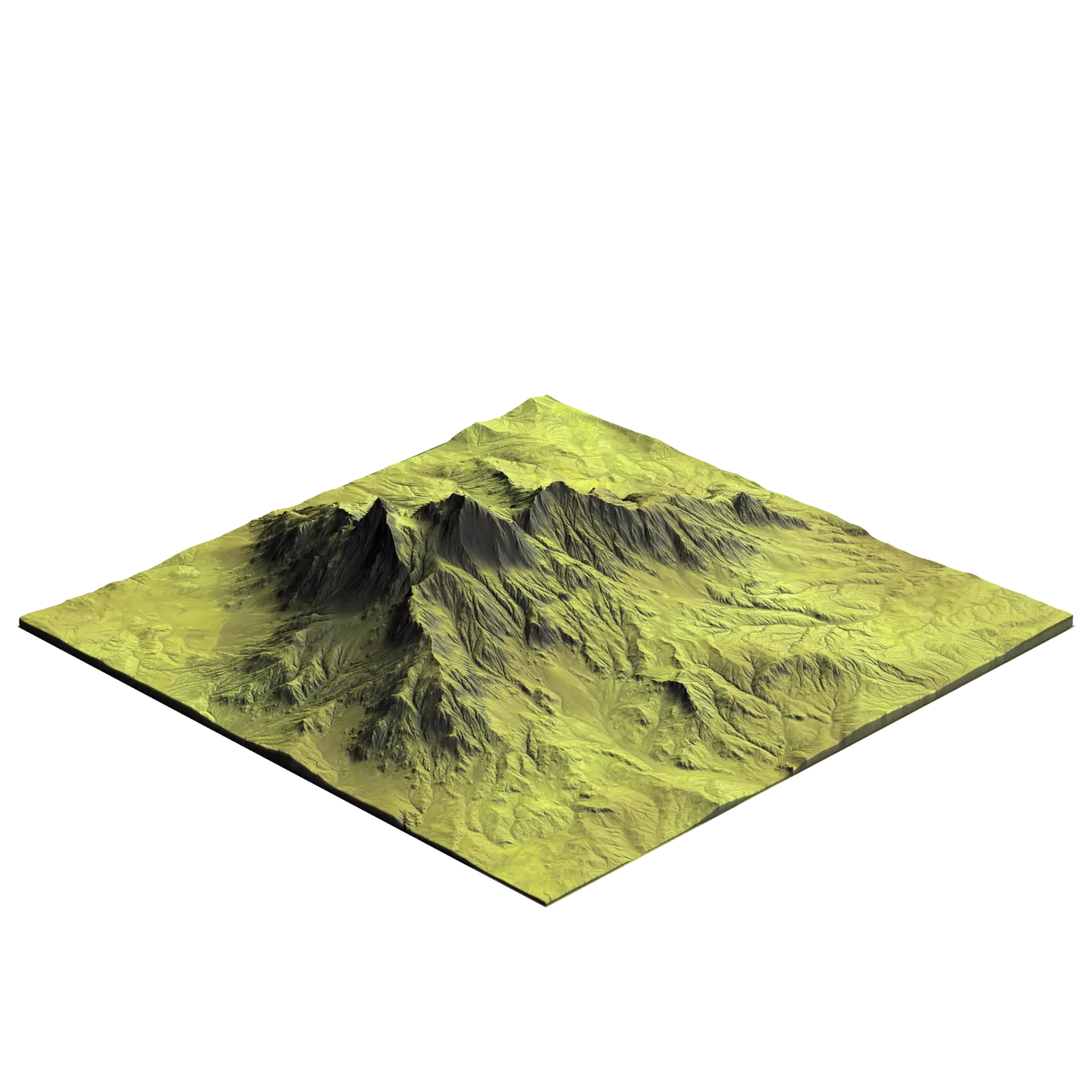
Terrain 001 is a Terrain dataset, filed under GIS & Site Datasets in Reality Capture & Data. Terrain 001 is a 2K terrain dataset: a 16-bit EXR height field plus the matching colour and soil maps. The height field is the elevation data itself, so it can drive a displacement modifier, a landscape node or a mesh generator rather than only being looked at. Made with a mix of captured and authored sources. It covers 5000.00 × 5000.00 m of real surface, so it maps at true scale without eyeballing the UV tiling. Migrated to Archade from ambientCG. The file, its categorisation and its imagery are carried across unchanged. Released under CC0 1.0 — public domain, commercial use included, no attribution required.
Public domain. Use commercially, modify and redistribute. No attribution required.
Free
What changed in 1.0
Imported from ambientCG at 2K. Source asset: Terrain001. Licence: CC0 1.0 — Public Domain. File republished unchanged.

 Unreal EngineVersion not statedBrowse
Covers 1 seat.
Free
Free
Free