Loading page…
CAD Drawing
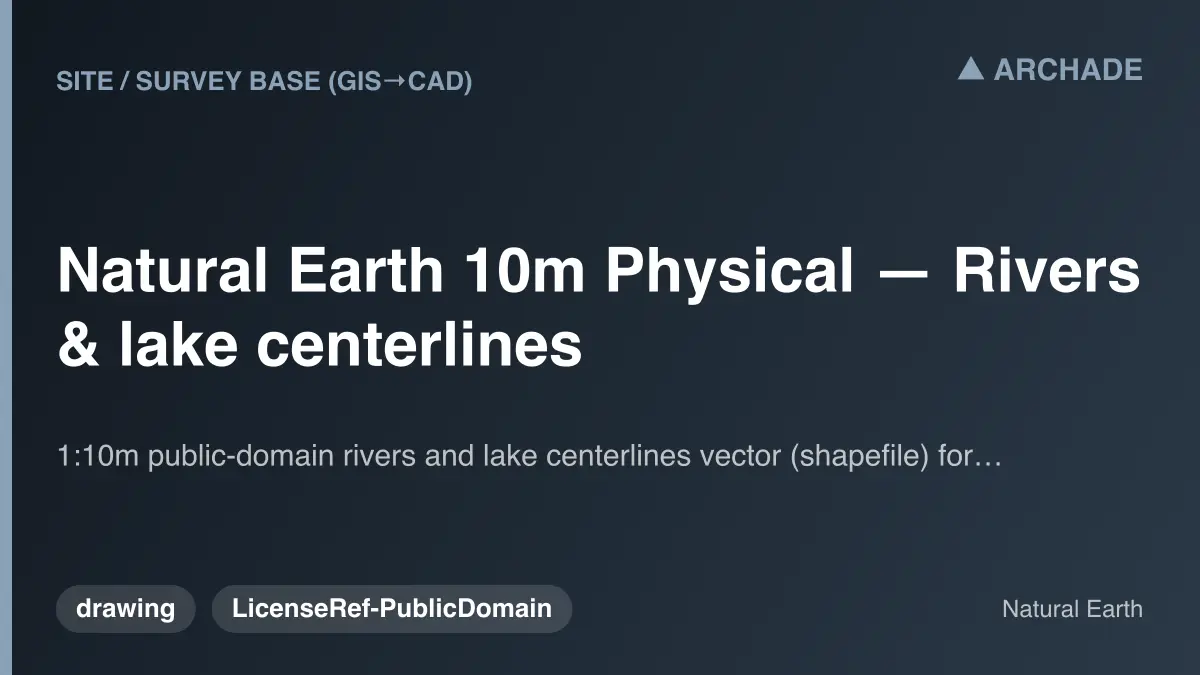
Natural Earth 10m Physical Rivers and Lake Centerlines
by Tim Champ
About this asset
This 1:10m scale global hydrographic vector dataset provides essential river and lake centerlines for large-scale site planning context. This professional-grade geospatial dataset contains global river and lake centerlines at a 1:10m scale. It provides a foundational hydrographic layer for mapping, urban planning, and large-scale site analysis. The data is structured as vector geometry, allowing for precise integration into GIS and CAD environments. By defining the primary water networks across continental landscapes, this collection serves as a critical reference for regional master planning and environmental assessment. The files are clean, topologically consistent, and formatted to ensure reliable performance when layered over terrain models or satellite imagery in various technical software suites.
The download is a 2 MB file containing .ZIP files.
Professionals typically import these files into GIS software or CAD platforms as a reference layer during the early stages of site analysis. Users should ensure their project coordinate system is correctly set to align the vectors with local survey data. Once loaded, the lines can be filtered by attribute, styled for presentation, or used as a base for generating terrain contours and watershed boundaries. Proper layer management is recommended to maintain performance when working with large-scale regional data sets.
This dataset is indispensable for urban planners, landscape architects, and civil engineers working on regional infrastructure or large-scale master planning projects. It is frequently employed during the feasibility and site selection stages to identify major hydrological features and flood risk zones. Whether mapping catchment areas for environmental impact reports or setting the context for territorial development, these centerlines provide the necessary accuracy for high-level spatial decision-making. Search for these files when conducting site surveys, regional analysis, or developing comprehensive master plans.