Loading page…
CAD Drawing
Autodesk
by Eric Battino
About this asset
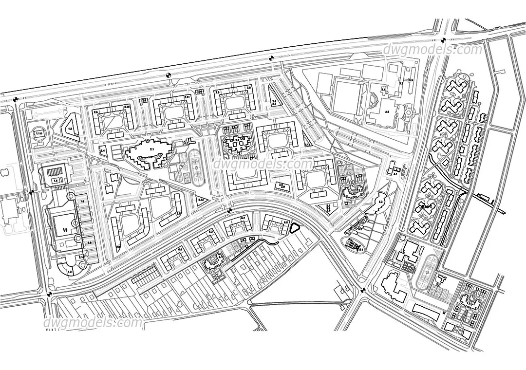
This comprehensive urban planning masterplan layout in AutoCAD DWG format provides a detailed 2D site strategy for large residential developments. The drawing presents a high-level urban development masterplan, illustrating a complex arrangement of residential blocks, circulation routes, and public space distribution. It features a diverse range of building footprints, including courtyard-style multi-family units, detached housing clusters, and larger institutional or commercial building envelopes. The layout is structured around a network of primary and secondary roads, indicating clear zoning and site access points. The geometry is clean and vector-based, defining property boundaries, building massing, and path connectivity across a large site area, providing a solid foundation for further site development or feasibility studies.
The download is a 1.1 MB file containing an AutoCAD drawing (.dwg) drawn in plan. It opens in AutoCAD, BricsCAD, DraftSight and other DWG-compatible CAD programs, ready to insert as blocks into plans and elevations.
Users can import this DWG file directly into AutoCAD or any compatible CAD software as a base layer for site planning. The geometry is organised into standard CAD layers, allowing for easy manipulation, scaling, or editing of individual building footprints and road networks. Professionals typically use this type of file to establish site context, perform massing studies, or develop preliminary landscaping and infrastructure proposals. It remains fully editable, enabling quick adjustments to site layouts during the early stages of the design process.