Loading page…
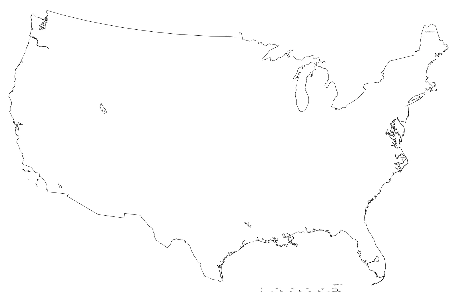
CAD Drawing
USA Map Vector Outline
by JAEHONG LEE
About this asset
This USA Map vector outline is a clean AutoCAD DWG drawing providing a precise 2D geographic boundary of the United States. This file contains a simplified, high-fidelity vector outline of the United States. The geometry is composed of clean, continuous polylines, capturing the national borders and major coastal features without extraneous detail. It represents the continental United States in a flat, two-dimensional plan view, ideal for site planning or regional analysis. The lines are rendered as a single-weight stroke, ensuring clarity when scaled up or down in a layout. It is a strictly geometric asset, stripped of any unnecessary fill or complex data layers, focusing purely on the essential spatial form.
The download is a 154 KB file containing an AutoCAD drawing (.dwg) drawn in plan. It opens in AutoCAD, BricsCAD, DraftSight and other DWG-compatible CAD programs, ready to insert as blocks into plans and elevations.
In AutoCAD, this drawing serves as a reliable base for site location diagrams or regional context mapping. Users can simply insert the file as a block or import it directly into a project file. Since the geometry is vector-based, it can be easily scaled to fit specific sheet sizes or cropped to focus on particular regions. The lines are fully editable, allowing for quick adjustments to line weights, colours, or line types to suit the visual requirements of a presentation or technical submission.
Ideal for architectural site analysis, urban planning presentations, and master-planning documentation, this map is a standard tool for establishing project context. It is frequently employed in early-stage feasibility studies to delineate regional scope or to provide a quick visual reference for national project locations. Professionals working in landscape architecture, urban design, and corporate communications will find this asset essential for creating clear, professional-grade diagrams. It pairs well with site-specific survey data, providing the broad geographic framework necessary for contextualising large-scale infrastructure or development projects.