Loading page…
CAD Drawing
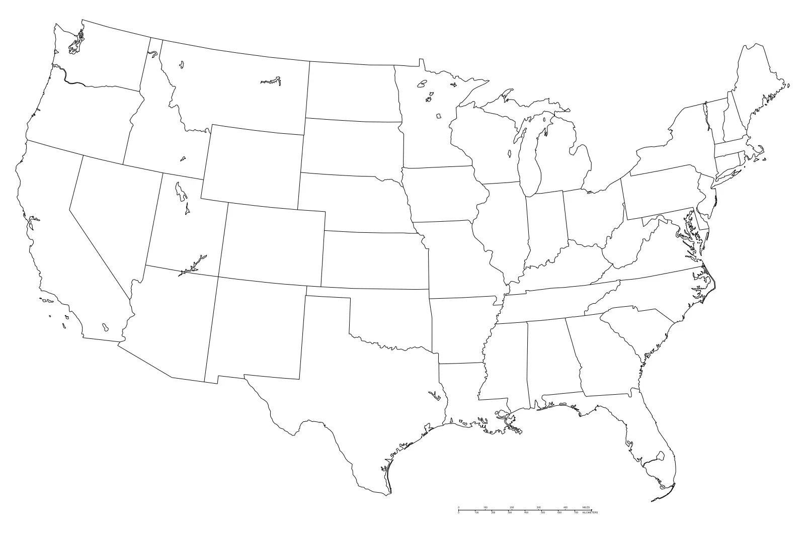
United States Map Outline Drawing
by Pepe Viteri
About this asset
This United States map outline is a clean AutoCAD DWG drawing featuring precise vector linework of all state boundaries. Comprising a clear, minimalist representation of the United States, this drawing provides an accurate geographical base for site planning and regional analysis. The file consists entirely of vector lines, ensuring crisp resolution at any scale. State borders are clearly defined, providing a reliable framework for thematic mapping or site location indicators. The geometry is clean and lightweight, stripped of unnecessary data to ensure smooth performance in large master-planning files. It serves as a neutral background, allowing for the overlay of site-specific data, project locations, or zoning information without adding visual clutter to the final presentation.
The download is a 205 KB file containing an AutoCAD drawing (.dwg) drawn in plan. It opens in AutoCAD, BricsCAD, DraftSight and other DWG-compatible CAD programs, ready to insert as blocks into plans and elevations.
Professionals can insert this file directly into active projects as a block or link it via an external reference to maintain file integrity. The geometry is fully scalable, allowing for adjustments to match project coordinate systems or specific sheet scales. Users can easily assign these lines to custom layers to control line weights and colours, ensuring the map integrates seamlessly with existing project standards and title blocks. It is ideal for rapid site analysis and report generation.
This map is a valuable asset for large-scale master planning, regional infrastructure studies, and corporate office presentations requiring national presence indicators. It is frequently employed during the preliminary design and feasibility stages to contextualise project sites within a broader national framework. Architects and urban designers use these outlines to create clear, professional diagrams for client reports, project brochures, and site analysis boards. It pairs effectively with regional data overlays, helping stakeholders quickly grasp geographical scope and project distribution across the country.