Loading page…
CAD Drawing
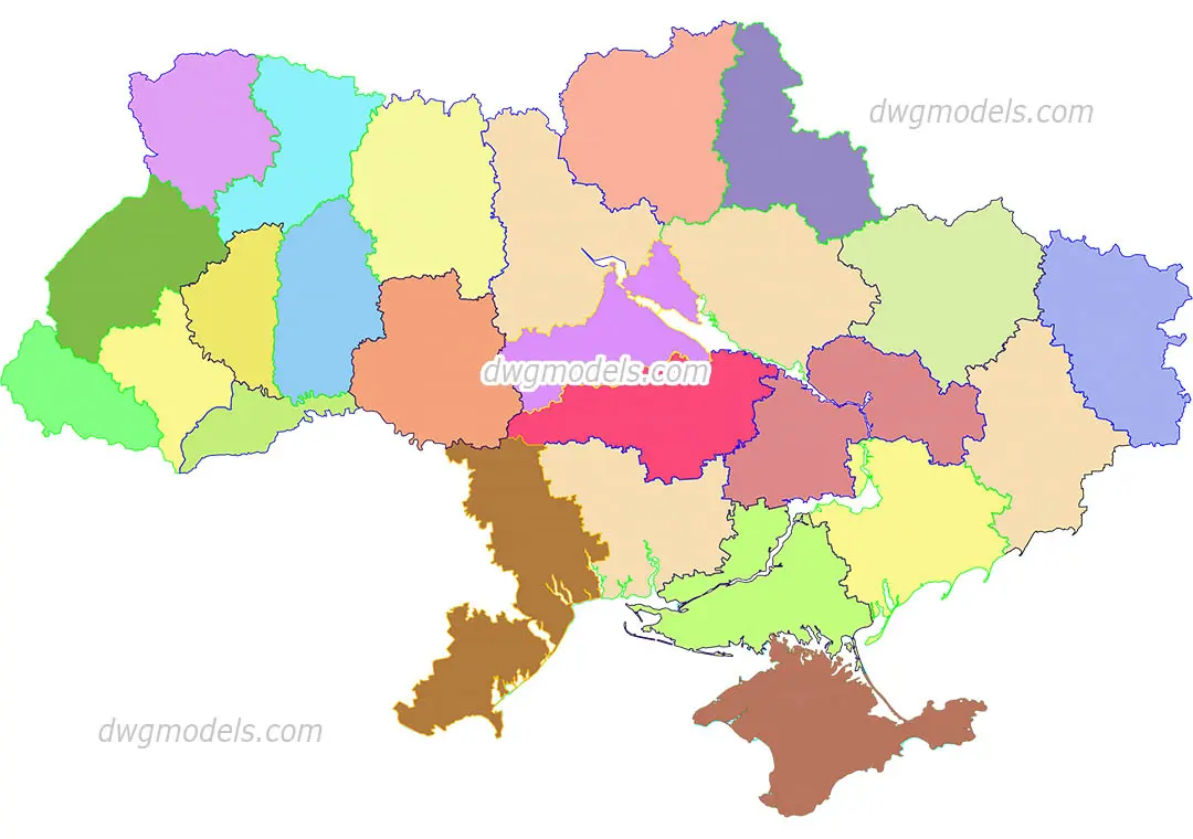
Ukraine Regional Administrative Map Vector Drawing
by Eleftheria Zanidaki
About this asset
This 2D vector map of Ukraine, provided as an AutoCAD DWG drawing, features clearly defined administrative regional boundaries. The drawing consists of a detailed 2D outline of the Ukrainian national territory, subdivided into its constituent administrative regions. Each region is represented by a closed polyline, allowing for individual selection, modification, or hatch pattern application. The geometry is clean and topologically accurate, suitable for use as a base layer in site analysis, urban planning documentation, or presentation graphics. All borders are accurately represented, providing a reliable foundation for thematic mapping or regional data visualisation within a CAD environment. The file is structured to ensure ease of manipulation for various graphic outputs.
The download is a 532 KB file containing an AutoCAD drawing (.dwg) drawn in plan. It opens in AutoCAD, BricsCAD, DraftSight and other DWG-compatible CAD programs, ready to insert as blocks into plans and elevations.
Professionals should insert this DWG into their project workspace as a block or external reference. The vector paths can be easily scaled to fit specific sheet sizes or plot layouts. Users can apply different line weights or hatch patterns to individual regions to create thematic diagrams or site-specific analyses. Because the geometry is composed of standard CAD entities, it integrates seamlessly with existing site plans and masterplanning documentation without requiring complex conversion or cleanup processes.