CAD Drawing
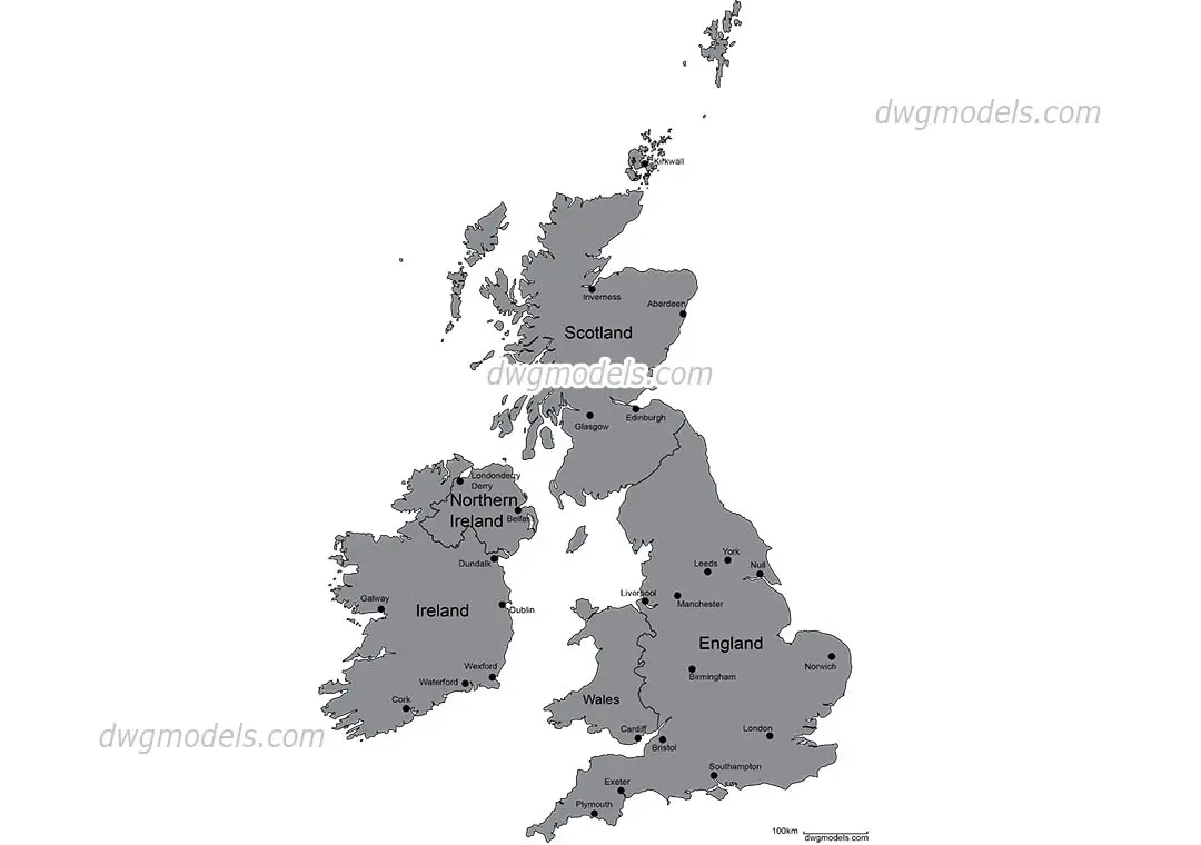
Map of Great Britain and Ireland
by Oren Atia
Map of Great Britain and Ireland
Free
Map of Great Britain and Ireland
Free
Sold by
View all from Oren AtiaMap of Great Britain and Ireland is a CAD drawing, filed under Maps in CAD Drawings. The download is a 2.6 MB archive. Tagged Diagrammatic. It opens in AutoCAD. Insert it into a drawing, or reference it externally, and it lands as editable CAD geometry. It sits with the Visualisation content on Archade. Migrated to Archade from dwgmodels.com. The file, its categorisation and its imagery are carried across unchanged. Released under CC0 1.0 — public domain, commercial use included, no attribution required.
File formats
What changed in 1.0
Imported from dwgmodels.com. Source asset: dwgmodels-1222. Licence: CC0 1.0 — Public Domain. File republished unchanged.
Public domain. Use commercially, modify and redistribute. No attribution required.
Covers 1 seat.
Free
Free
Free
Free
Free
Free