Loading page…
CAD Drawing
Historical Center of Krasnoyarsk Urban Plan
by Andrew Kroll
About this asset
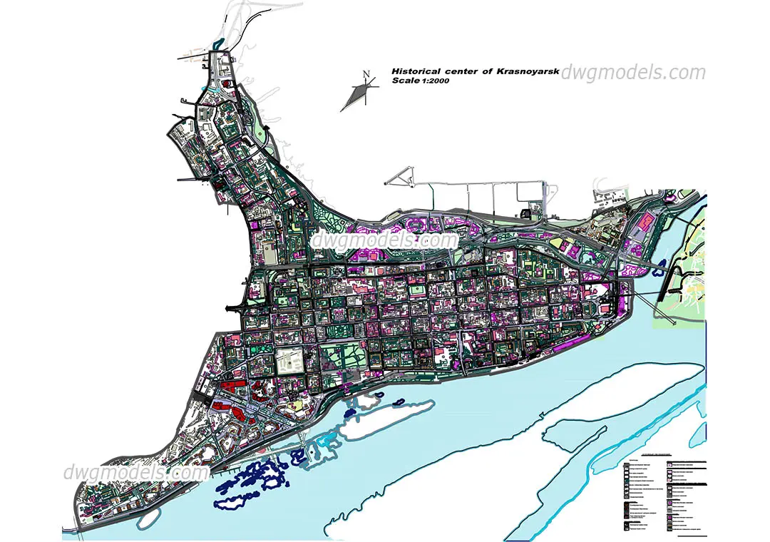
This comprehensive urban plan of the historical center of Krasnoyarsk is a 2D AutoCAD DWG drawing featuring detailed city layout. Representing a large-scale urban survey at 1:2000, this digital plan captures the historical core of Krasnoyarsk with precision. The geometry includes defined street grids, building footprints, green spaces, and water boundaries along the riverfront. It is structured with multiple line types and colour-coded zones that delineate land use, infrastructure, and urban density. The drawing includes a north arrow and a legend for clear navigation of the site data. All elements are presented in a flat, top-down projection, providing a foundational layer for site analysis, master planning, or contextual urban design studies.
The download is a 10.8 MB file containing an AutoCAD drawing (.dwg) drawn in plan. It opens in AutoCAD, BricsCAD, DraftSight and other DWG-compatible CAD programs, ready to insert as blocks into plans and elevations.
Professionals can insert this DWG file directly into an active project workspace as a reference base for site planning. By isolating specific layers, users can control the visibility of building footprints, road networks, or vegetation to suit documentation requirements. The file is scaled for direct use in AutoCAD, allowing designers to overlay new architectural proposals or infrastructure modifications accurately onto the existing historical context. It serves as an essential starting point for urban feasibility studies and regional development presentations.